Point Clouds and Elevation Surfaces in Metashape
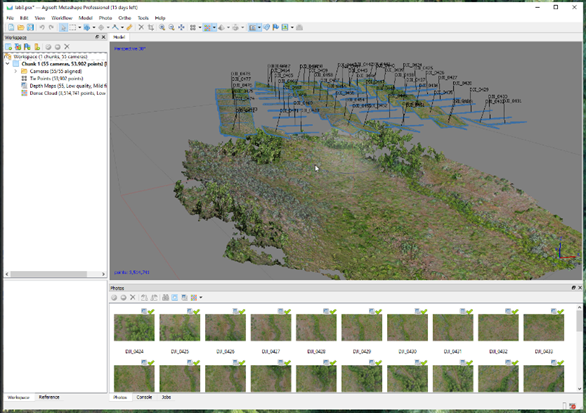
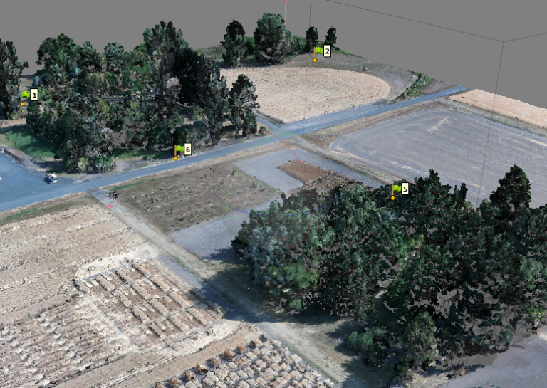
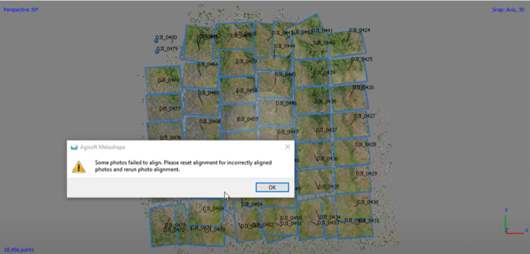
Agisoft Metashape is a digital photogrammetry software application that is used for turning drone-collected photographs into high-quality maps and 3D models. This exercise will walk through the basics of how to use Metashape.
