Skip to content

  • Home
  • ProjectsExpand
    • Publications
  • People
  • Learning
  • ServicesExpand
    • Service Inquiry
    • Drone Data for Small Landowners
    • Our Equipment
  • Resources
  • Events
  • Contact Us
  • Point Clouds and Elevation Surfaces in Metashape
    Learning

    Point Clouds and Elevation Surfaces in Metashape

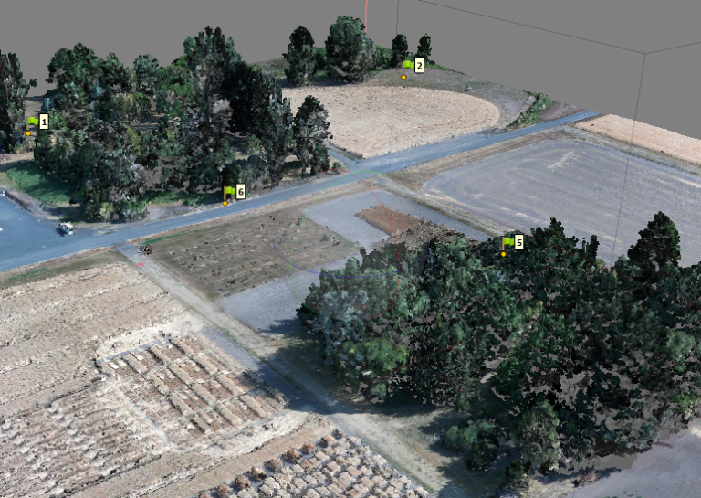
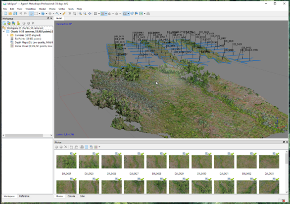
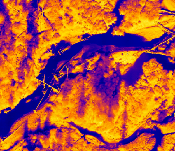
    Agisoft Metashape is a digital photogrammetry software application that is used for turning drone-collected photographs into high-quality maps and 3D models. This exercise will walk through the basics of how to use Metashape.
    Read More Point Clouds and Elevation Surfaces in MetashapeContinue

  • Post-processing Emlid GNSS data with OPUS corrections
    Learning

    Post-processing Emlid GNSS data with OPUS corrections

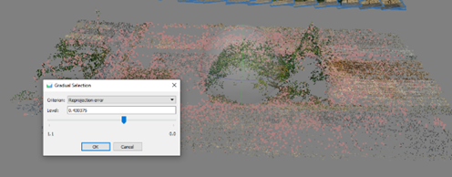
    Aligning the photos to create an inital stereo model and sparse point cloud is the first step in Metashape. In this lab, we explore the different options for aligning photos and how to optimize the sparse point cloud.

    Read More Post-processing Emlid GNSS data with OPUS correctionsContinue

  • Thermal Image Photogrammetry in Metashape
    Learning

    Thermal Image Photogrammetry in Metashape

    Aligning the photos to create an inital stereo model and sparse point cloud is the first step in Metashape. In this lab, we explore the different options for aligning photos and how to optimize the sparse point cloud.

    Read More Thermal Image Photogrammetry in MetashapeContinue

  • Combining Lidar with Photogrammetry in Metashape
    Learning

    Combining Lidar with Photogrammetry in Metashape

    Aligning the photos to create an inital stereo model and sparse point cloud is the first step in Metashape. In this lab, we explore the different options for aligning photos and how to optimize the sparse point cloud.

    Read More Combining Lidar with Photogrammetry in MetashapeContinue

  • Processing Lidar Data in Yellowscan CloudStation
    Learning

    Processing Lidar Data in Yellowscan CloudStation

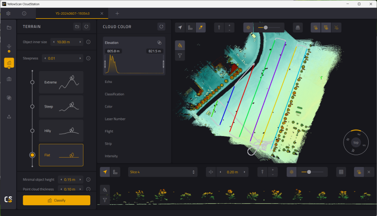
    Raw lidar data collected from Yellowscan sensors must be processed through CloudStation to produce high-accuracy point clouds and elevation models.

    Read More Processing Lidar Data in Yellowscan CloudStationContinue

  • Photo Alignment and Optimization in Metashape
    Learning

    Photo Alignment and Optimization in Metashape

    Aligning the photos to create an inital stereo model and sparse point cloud is the first step in Metashape. In this lab, we explore the different options for aligning photos and how to optimize the sparse point cloud.

    Read More Photo Alignment and Optimization in MetashapeContinue

  • Close-range Photogrammetry
    Learning

    Close-range Photogrammetry

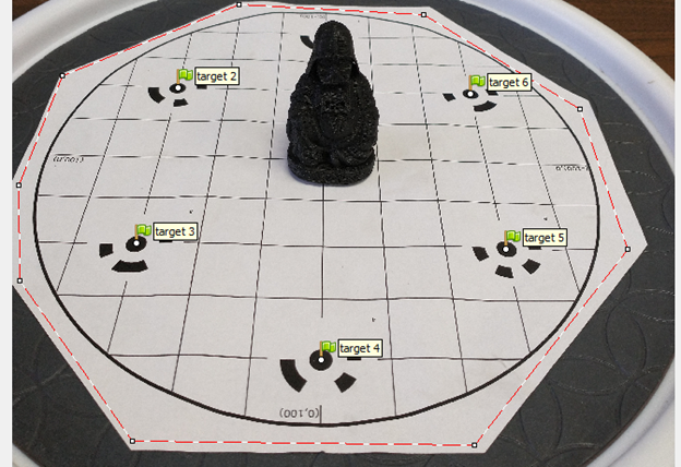
    Not drones, but still cool! You can use the same structure-from-motion software we use to process drone imagery to create 3D models from overlapping photographs of an object.

    Read More Close-range PhotogrammetryContinue

  • Image Coregistration in Agisoft Metashape
    Learning

    Image Coregistration in Agisoft Metashape

    While most photogrammetry projects may only need data from one point in time, there are many instances where you want to track change over time. With high-resolution, 3D drone imagery, coregistering the 3D models and image products from different time periods is very important, but can also be very challenging. This exercise walks through a few different approaches to coregistering 3D models and orthomosaics in Metashape.

    Read More Image Coregistration in Agisoft MetashapeContinue

  • Manually Aligning Photos in Agisoft Metashape
    Learning

    Manually Aligning Photos in Agisoft Metashape

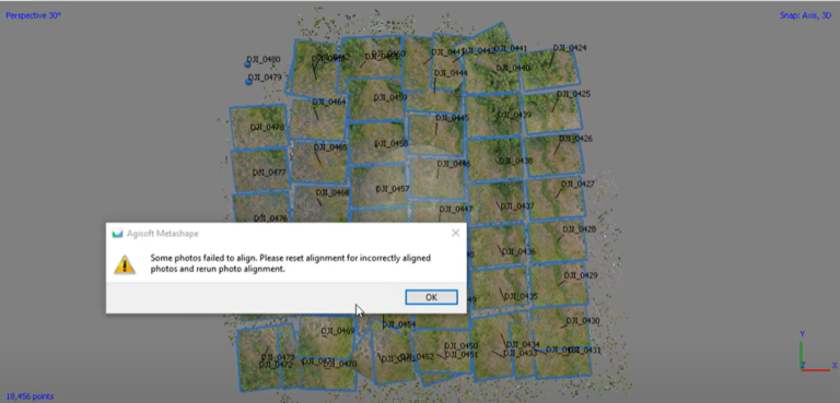
    Metashape is great when you have well-behaved photos. When you don’t, it can be super frustrating. While not every image set can be successfully aligned in Metashape, there are some strategies for manually aligning photos if they don’t want to align. 

    Read More Manually Aligning Photos in Agisoft MetashapeContinue

  • Post-Processed Kinematic Survey Data with Emlid Studio
    Learning

    Post-Processed Kinematic Survey Data with Emlid Studio

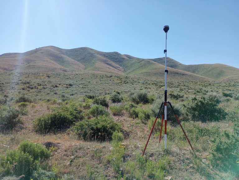
    Post-processed kinematic (PPK) surveying is an important technology for achieving high-accuracy, high-precision location data for drone mapping missions. In this exercise, we look at how to post-process data collected with an Emlid Reach RS+ base station and rover setup using Emlid Studio.

    Read More Post-Processed Kinematic Survey Data with Emlid StudioContinue

Page navigation

1 2 Next PageNext

Contact us if you have a drone-related announcement or activity you would like to share.


Recent Posts

  • Point Clouds and Elevation Surfaces in Metashape
  • The Year in Drone – 2024
  • Post-processing Emlid GNSS data with OPUS corrections
  • Thermal Image Photogrammetry in Metashape
  • Combining Lidar with Photogrammetry in Metashape

Categories

  • Announcement
  • College of Agriculture and Life Sciences
  • College of Natural Resources
  • Learning
  • People
  • Projects
  • Uncategorized

© 2026

Powered by: RCDS

  • Home
  • Projects
    • Publications
  • People
  • Learning
  • Services
    • Service Inquiry
    • Drone Data for Small Landowners
    • Our Equipment
  • Resources
  • Events
  • Contact Us