Skip to content

  • Home
  • ProjectsExpand
    • Publications
  • People
  • Learning
  • ServicesExpand
    • Service Inquiry
    • Drone Data for Small Landowners
    • Our Equipment
  • Resources
  • Events
  • Contact Us
  • Effects of Low-Tech Process-Based Restoration on Rangeland Riparian Areas
    College of Natural Resources | Projects

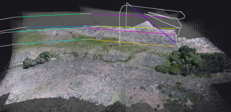
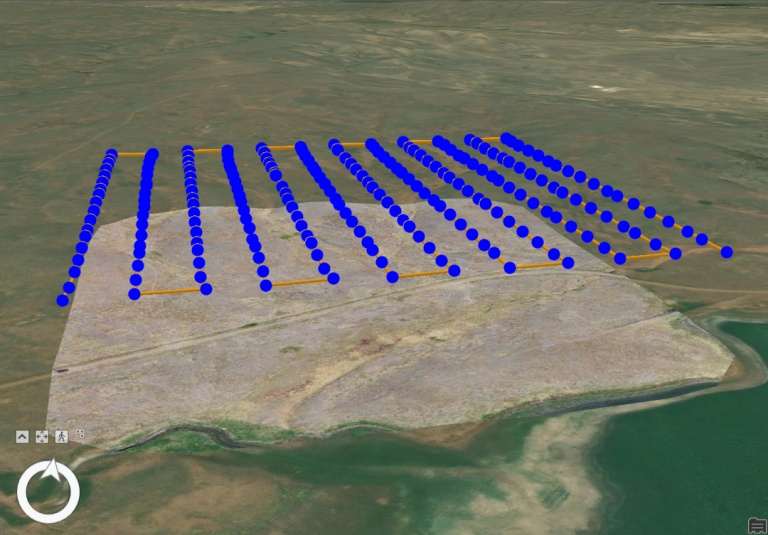
    Effects of Low-Tech Process-Based Restoration on Rangeland Riparian Areas

    The University of Idaho’s Drone Lab has worked with the Montana Chapter of The Nature Conservancy to develop and refine workflows for automated processing of drone imagery into indicators of ecosystem health.
    Read More Effects of Low-Tech Process-Based Restoration on Rangeland Riparian AreasContinue

  • USDA Lidar Drone Grant
    Announcement | College of Agriculture and Life Sciences | College of Natural Resources | Projects

    USDA Lidar Drone Grant

    The University of Idaho’s Drone Lab was awarded a USDA NIFA Equipment Grant for $110,000 to fund the purchase of a drone-carried lidar system to be used for research and teaching in the fields of agriculture and natural resources at UI and with partners.

    Read More USDA Lidar Drone GrantContinue

  • Automating workflows for processing and classification of drone imagery to monitor grassland conservation easements
    College of Natural Resources | Projects

    Automating workflows for processing and classification of drone imagery to monitor grassland conservation easements

    The University of Idaho’s Drone Lab has worked with the Montana Chapter of The Nature Conservancy to develop and refine workflows for automated processing of drone imagery into indicators of ecosystem health.
    Read More Automating workflows for processing and classification of drone imagery to monitor grassland conservation easementsContinue

  • Mapping the Thermal Flow: Best Practices in River and Riparian Temperature Monitoring with TIR Imagery
    College of Natural Resources | Projects | Uncategorized

    Mapping the Thermal Flow: Best Practices in River and Riparian Temperature Monitoring with TIR Imagery

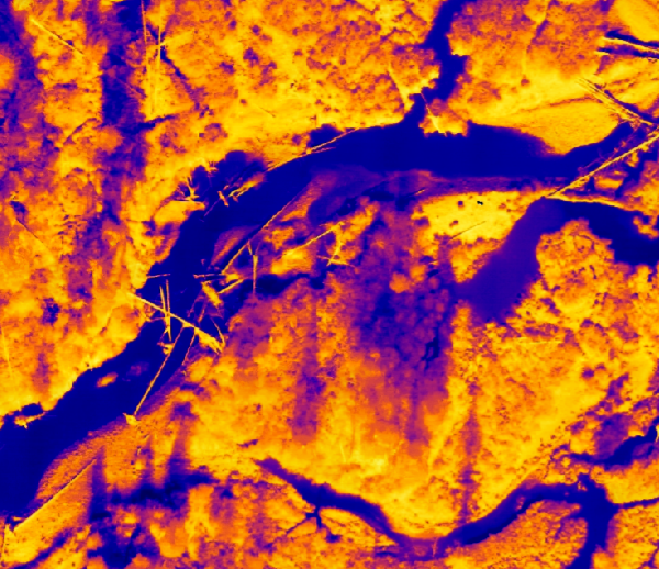
    We are using thermal infrared (TIR) imagery to map thermal profiles in rivers and riparian areas at the reach scale in the upper Big Creek drainage of Central Idaho.

    Read More Mapping the Thermal Flow: Best Practices in River and Riparian Temperature Monitoring with TIR ImageryContinue

Contact us if you have a drone-related announcement or activity you would like to share.


Recent Posts

  • Point Clouds and Elevation Surfaces in Metashape
  • The Year in Drone – 2024
  • Post-processing Emlid GNSS data with OPUS corrections
  • Thermal Image Photogrammetry in Metashape
  • Combining Lidar with Photogrammetry in Metashape

Categories

  • Announcement
  • College of Agriculture and Life Sciences
  • College of Natural Resources
  • Learning
  • People
  • Projects
  • Uncategorized

© 2026

Powered by: RCDS

  • Home
  • Projects
    • Publications
  • People
  • Learning
  • Services
    • Service Inquiry
    • Drone Data for Small Landowners
    • Our Equipment
  • Resources
  • Events
  • Contact Us