Drone Lab Projects
Check the posts below to learn about projects happening by Drone Lab faculty and students.
Effects of Low-Tech Process-Based Restoration on Rangeland Riparian Areas
The University of Idaho’s Drone Lab has worked with the Montana Chapter of The Nature Conservancy to develop and refine workflows for automated processing of drone imagery into indicators of…
USDA Lidar Drone Grant
The University of Idaho’s Drone Lab was awarded a USDA NIFA Equipment Grant for $110,000 to fund the purchase of a drone-carried lidar system to be used for research and…
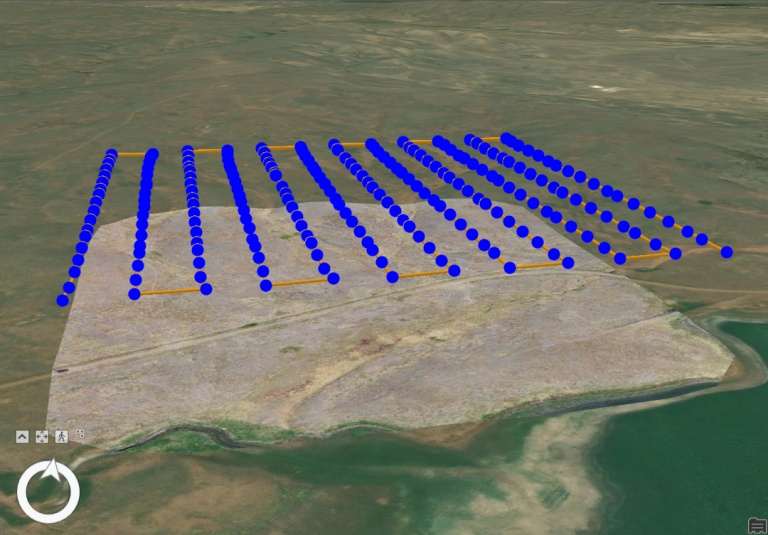
Automating workflows for processing and classification of drone imagery to monitor grassland conservation easements
The University of Idaho’s Drone Lab has worked with the Montana Chapter of The Nature Conservancy to develop and refine workflows for automated processing of drone imagery into indicators of…
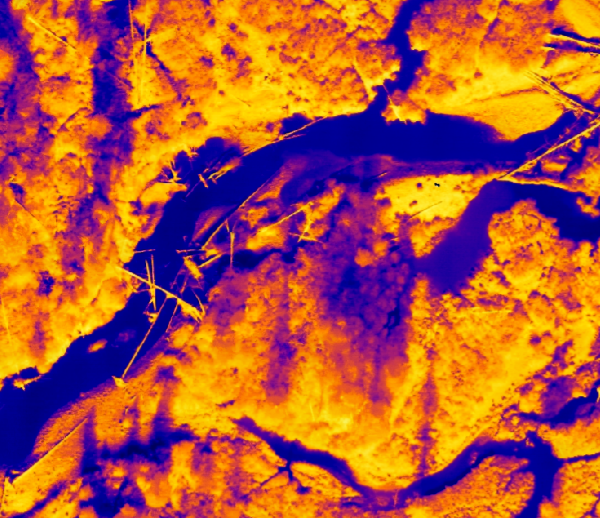
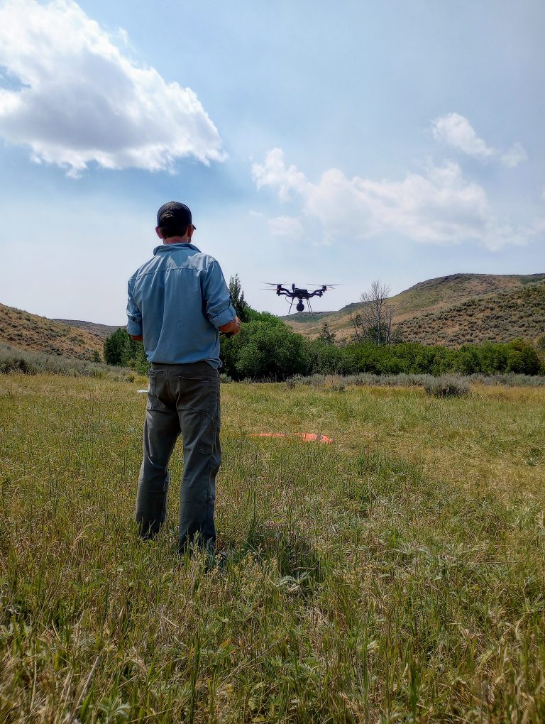
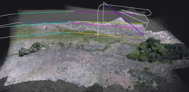
Mapping the Thermal Flow: Best Practices in River and Riparian Temperature Monitoring with TIR Imagery
We are using thermal infrared (TIR) imagery to map thermal profiles in rivers and riparian areas at the reach scale in the upper Big Creek drainage of Central Idaho.