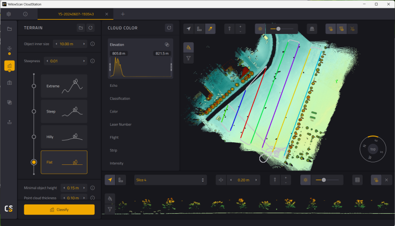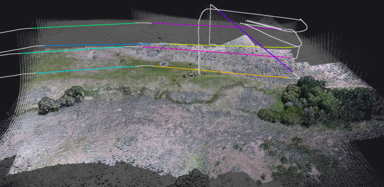
Combining Lidar with Photogrammetry in Metashape
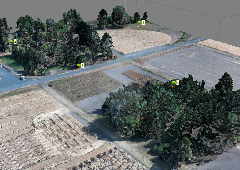
Aligning the photos to create an inital stereo model and sparse point cloud is the first step in Metashape. In this lab, we explore the different options for aligning photos and how to optimize the sparse point cloud.