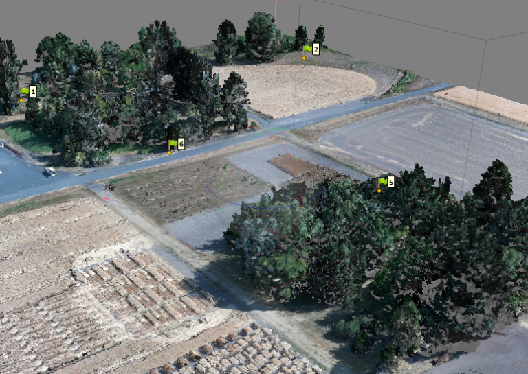
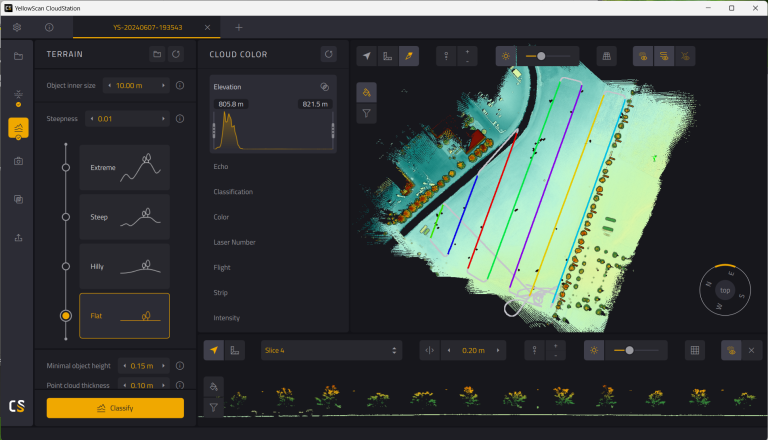
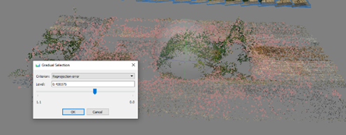
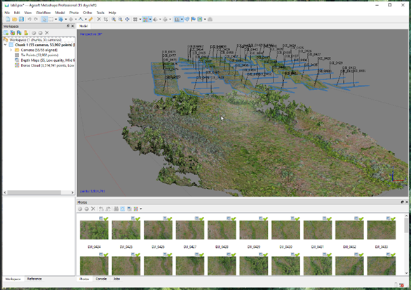
The Year in Drone – 2024
As 2024 comes to a close, here’s a look back at some of the Drone Lab’s stats and projects.
Aligning the photos to create an inital stereo model and sparse point cloud is the first step in Metashape. In this lab, we explore the different options for aligning photos and how to optimize the sparse point cloud.
Raw lidar data collected from Yellowscan sensors must be processed through CloudStation to produce high-accuracy point clouds and elevation models.
Aligning the photos to create an inital stereo model and sparse point cloud is the first step in Metashape. In this lab, we explore the different options for aligning photos and how to optimize the sparse point cloud.
The University of Idaho’s Drone Lab has worked with the Montana Chapter of The Nature Conservancy to develop and refine workflows for automated processing of drone imagery into indicators of ecosystem health.
Drone Lab Grad Student Sam Fulbright Graduate StudentDepartment of Forest, Rangeland, and Fire SciencesCollege of Natural Resources Sam’s Drone Lab Projects
Drone Lab Faculty Eric Winford, Ph.D. Research Assistant Professor of Rangeland EcologyAssociate Director, The Rangeland Center Dr. Winford’s Drone Lab Projects Dr. Winford’s Drone Publications
Not drones, but still cool! You can use the same structure-from-motion software we use to process drone imagery to create 3D models from overlapping photographs of an object.