Skip to content

  • Home
  • ProjectsExpand
    • Publications
  • People
  • Learning
  • ServicesExpand
    • Service Inquiry
    • Drone Data for Small Landowners
    • Our Equipment
  • Resources
  • Events
  • Contact Us
  • Close-range Photogrammetry
    Learning

    Close-range Photogrammetry

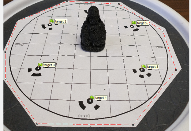
    Not drones, but still cool! You can use the same structure-from-motion software we use to process drone imagery to create 3D models from overlapping photographs of an object.
    Read More Close-range PhotogrammetryContinue

  • Image Coregistration in Agisoft Metashape
    Learning

    Image Coregistration in Agisoft Metashape

    While most photogrammetry projects may only need data from one point in time, there are many instances where you want to track change over time. With high-resolution, 3D drone imagery, coregistering the 3D models and image products from different time periods is very important, but can also be very challenging. This exercise walks through a few different approaches to coregistering 3D models and orthomosaics in Metashape.
    Read More Image Coregistration in Agisoft MetashapeContinue

  • Manually Aligning Photos in Agisoft Metashape
    Learning

    Manually Aligning Photos in Agisoft Metashape

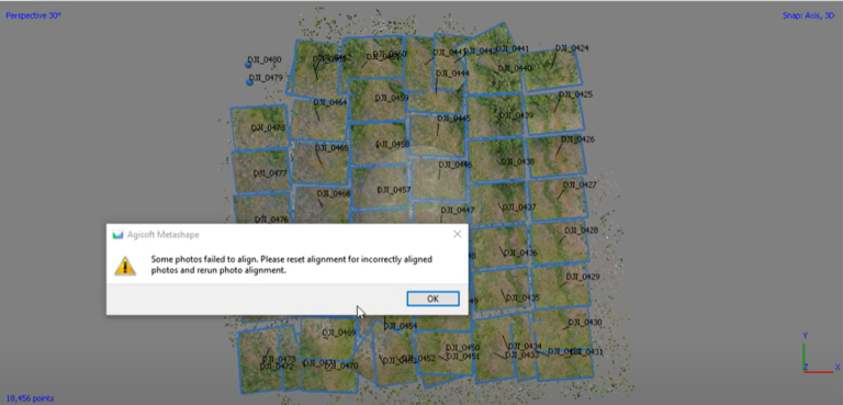
    Metashape is great when you have well-behaved photos. When you don’t, it can be super frustrating. While not every image set can be successfully aligned in Metashape, there are some strategies for manually aligning photos if they don’t want to align. 
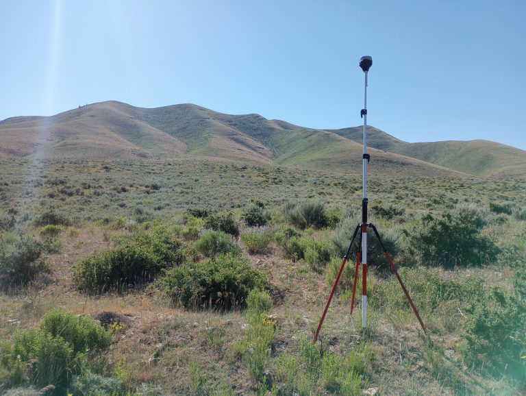
    Read More Manually Aligning Photos in Agisoft MetashapeContinue

  • Post-Processed Kinematic Survey Data with Emlid Studio
    Learning

    Post-Processed Kinematic Survey Data with Emlid Studio

    Post-processed kinematic (PPK) surveying is an important technology for achieving high-accuracy, high-precision location data for drone mapping missions. In this exercise, we look at how to post-process data collected with an Emlid Reach RS+ base station and rover setup using Emlid Studio.
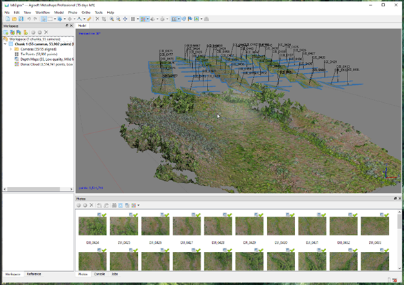
    Read More Post-Processed Kinematic Survey Data with Emlid StudioContinue

  • Introduction to Agisoft Metashape
    Learning

    Introduction to Agisoft Metashape

    Agisoft Metashape is a digital photogrammetry software application that is used for turning drone-collected photographs into high-quality maps and 3D models. This exercise will walk through the basics of how to use Metashape.
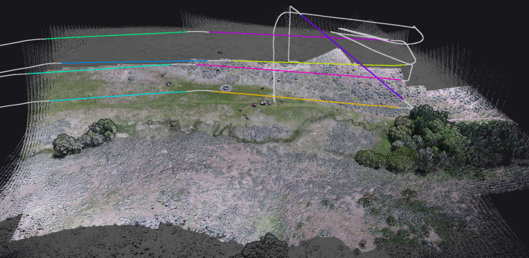
    Read More Introduction to Agisoft MetashapeContinue

  • USDA Lidar Drone Grant
    Announcement | College of Agriculture and Life Sciences | College of Natural Resources | Projects

    USDA Lidar Drone Grant

    The University of Idaho’s Drone Lab was awarded a USDA NIFA Equipment Grant for $110,000 to fund the purchase of a drone-carried lidar system to be used for research and teaching in the fields of agriculture and natural resources at UI and with partners.
    Read More USDA Lidar Drone GrantContinue

  • Jason Karl
    College of Natural Resources | Uncategorized

    Jason Karl

    Drone Lab Faculty Jason W. Karl, Ph.D. Professor & Harold F. and Ruth M. Heady Endowed Chair of Rangeland EcologyLead PI, Drone LabDirector, The Rangeland Center Dr. Karl’s Drone Lab Projects Dr. Karl’s Drone Publications
    Read More Jason KarlContinue

  • Automating workflows for processing and classification of drone imagery to monitor grassland conservation easements
    College of Natural Resources | Projects

    Automating workflows for processing and classification of drone imagery to monitor grassland conservation easements

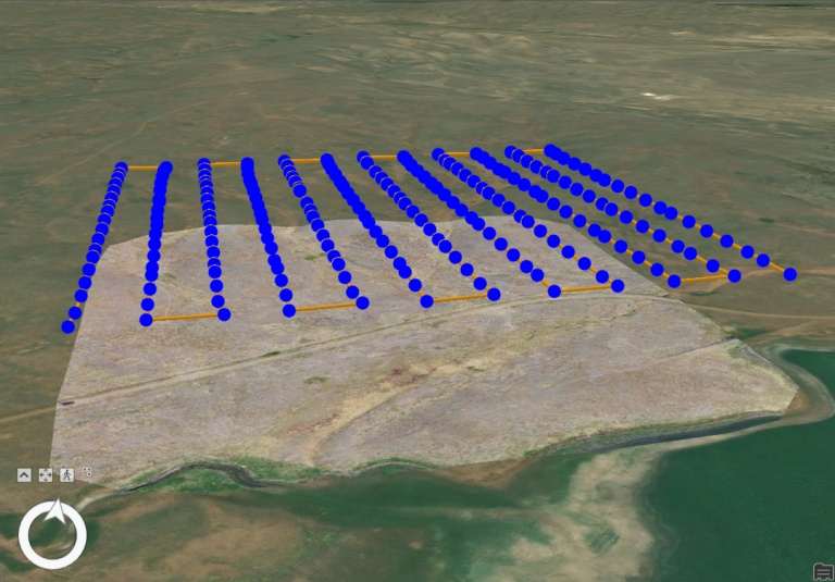
    The University of Idaho’s Drone Lab has worked with the Montana Chapter of The Nature Conservancy to develop and refine workflows for automated processing of drone imagery into indicators of ecosystem health.
    Read More Automating workflows for processing and classification of drone imagery to monitor grassland conservation easementsContinue

  • Mapping the Thermal Flow: Best Practices in River and Riparian Temperature Monitoring with TIR Imagery
    College of Natural Resources | Projects | Uncategorized

    Mapping the Thermal Flow: Best Practices in River and Riparian Temperature Monitoring with TIR Imagery

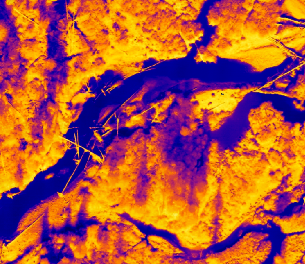
    We are using thermal infrared (TIR) imagery to map thermal profiles in rivers and riparian areas at the reach scale in the upper Big Creek drainage of Central Idaho.
    Read More Mapping the Thermal Flow: Best Practices in River and Riparian Temperature Monitoring with TIR ImageryContinue

  • Structure from Motion with Historic Aerial Photos
    Learning

    Structure from Motion with Historic Aerial Photos

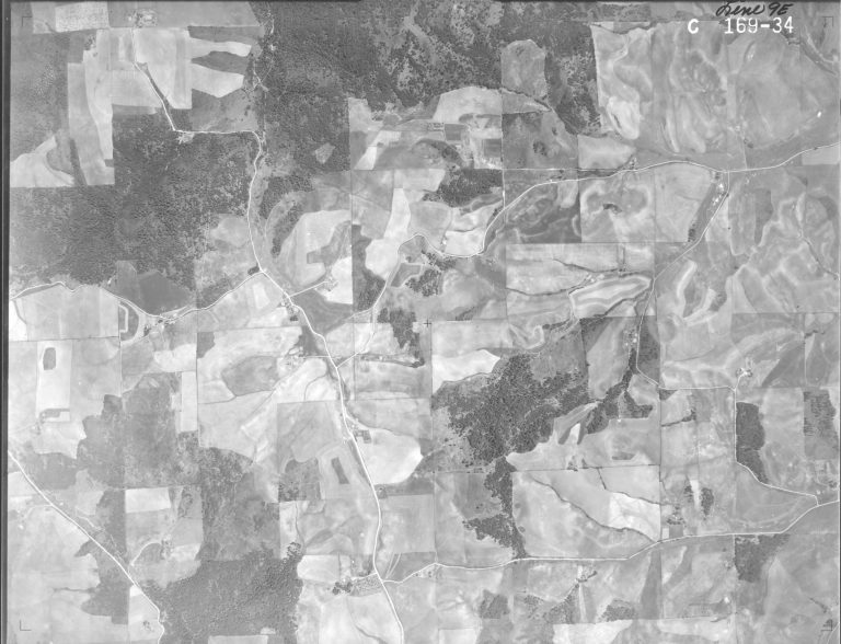
    LEARNING Structure from Motion with historic aerial photographs. Modern photogrammetry software is a powerful tool for orthorectifying and merging historic aerial photographs into digital map products that can be used in GIS maps and analyses. The concepts of photogrammetric mapping can be applied to any…

    Read More Structure from Motion with Historic Aerial PhotosContinue

Page navigation

Previous PagePrevious 1 2

Contact us if you have a drone-related announcement or activity you would like to share.


Recent Posts

  • Point Clouds and Elevation Surfaces in Metashape
  • The Year in Drone – 2024
  • Post-processing Emlid GNSS data with OPUS corrections
  • Thermal Image Photogrammetry in Metashape
  • Combining Lidar with Photogrammetry in Metashape

Categories

  • Announcement
  • College of Agriculture and Life Sciences
  • College of Natural Resources
  • Learning
  • People
  • Projects
  • Uncategorized

© 2026

Powered by: RCDS

  • Home
  • Projects
    • Publications
  • People
  • Learning
  • Services
    • Service Inquiry
    • Drone Data for Small Landowners
    • Our Equipment
  • Resources
  • Events
  • Contact Us