Skip to content

  • Home
  • ProjectsExpand
    • Publications
  • People
  • Learning
  • ServicesExpand
    • Equipment
  • Resources
  • Events
  • Contact Us
Post-processing Emlid GNSS data with OPUS corrections
Learning

Post-processing Emlid GNSS data with OPUS corrections

Aligning the photos to create an inital stereo model and sparse point cloud is the first step in Metashape. In this lab, we explore the different options for aligning photos and how to optimize the sparse point cloud.

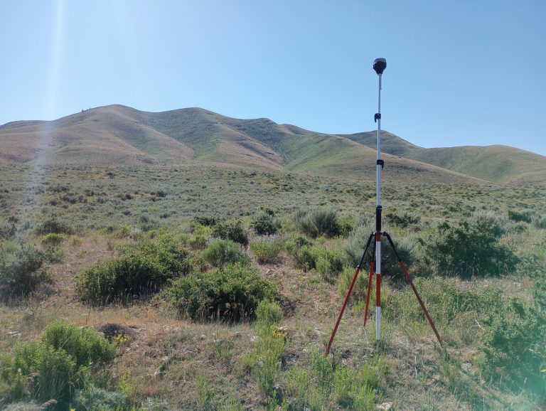
Read More Post-processing Emlid GNSS data with OPUS correctionsContinue

Post-Processed Kinematic Survey Data with Emlid Studio
Learning

Post-Processed Kinematic Survey Data with Emlid Studio

Post-processed kinematic (PPK) surveying is an important technology for achieving high-accuracy, high-precision location data for drone mapping missions. In this exercise, we look at how to post-process data collected with an Emlid Reach RS+ base station and rover setup using Emlid Studio.

Read More Post-Processed Kinematic Survey Data with Emlid StudioContinue

Contact us if you have a drone-related announcement or activity you would like to share.


Recent Posts

  • The Year in Drone – 2024
  • Post-processing Emlid GNSS data with OPUS corrections
  • Thermal Image Photogrammetry in Metashape
  • Combining Lidar with Photogrammetry in Metashape
  • Processing Lidar Data in Yellowscan CloudStation

Categories

  • Announcement
  • College of Agriculture and Life Sciences
  • College of Natural Resources
  • Learning
  • People
  • Projects
  • Uncategorized

© 2025

Powered by: RCDS

  • Home
  • Projects
    • Publications
  • People
  • Learning
  • Services
    • Equipment
  • Resources
  • Events
  • Contact Us