
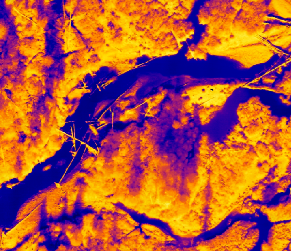
Mapping the Thermal Flow: Best Practices in River and Riparian Temperature Monitoring with TIR Imagery
We are using thermal infrared (TIR) imagery to map thermal profiles in rivers and riparian areas at the reach scale in the upper Big Creek drainage of Central Idaho.