UI Drone Lab captures laser scans of 2026 US Capitol Christmas Tree
The University of Idaho’s Drone Lab has worked with the Montana Chapter of The Nature Conservancy to develop and refine workflows for automated processing of drone imagery into indicators of ecosystem health.
The 2026 US Capitol Christmas Tree is an Engleman spruce from the Nez Perce-Clearwater National Forest in northern Idaho. The organizers for this year’s Capitol Christmas Tree contacted the UI College of Natural Resources, the Digital Forest Affiliates, and the Drone Lab to complete a set of laser scans and photos of the tree to create a full 3D rendering of it. The renderings and other map products are part of the educational programming that will accompany the tree as it makes its way across the country to the Capitol.
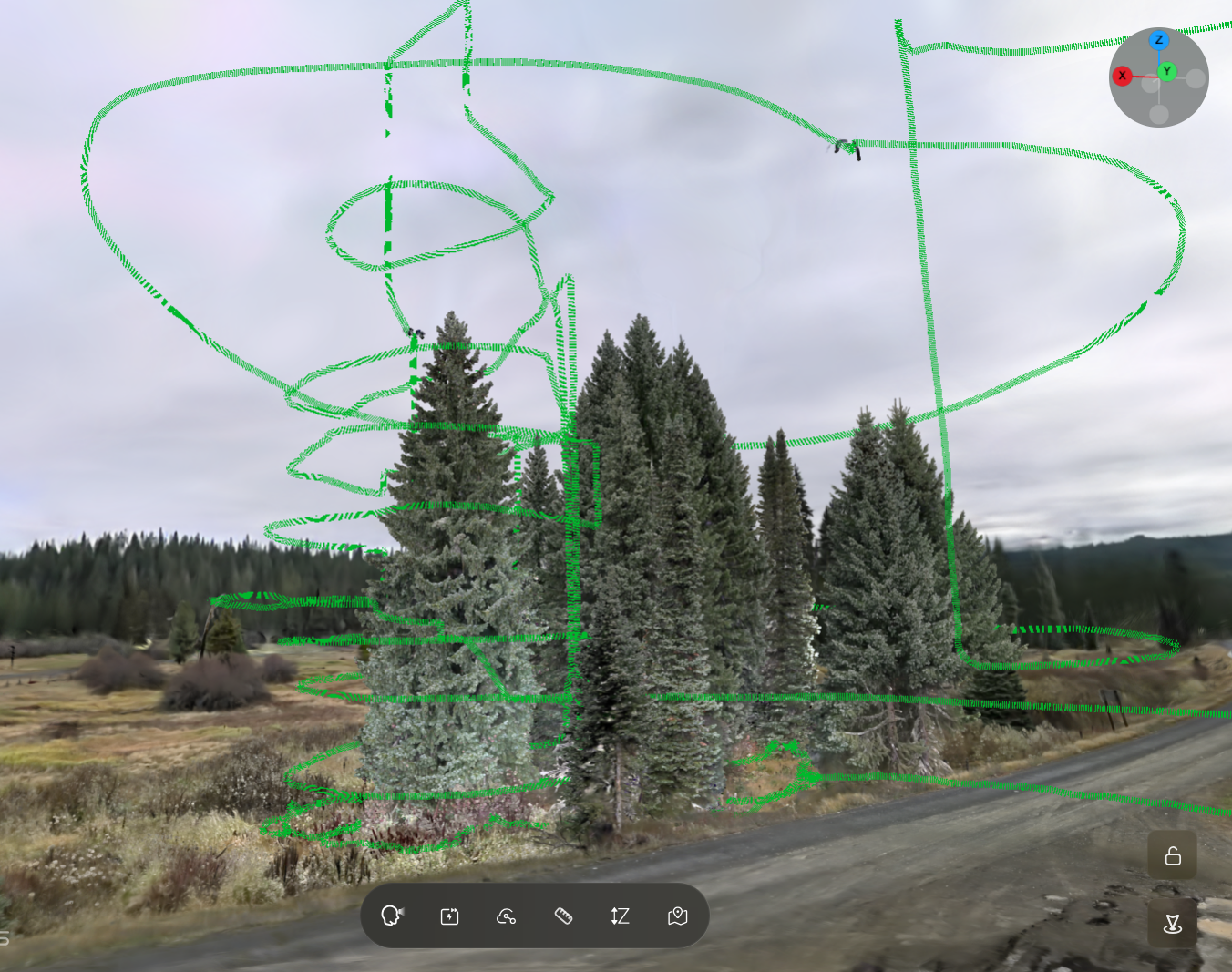
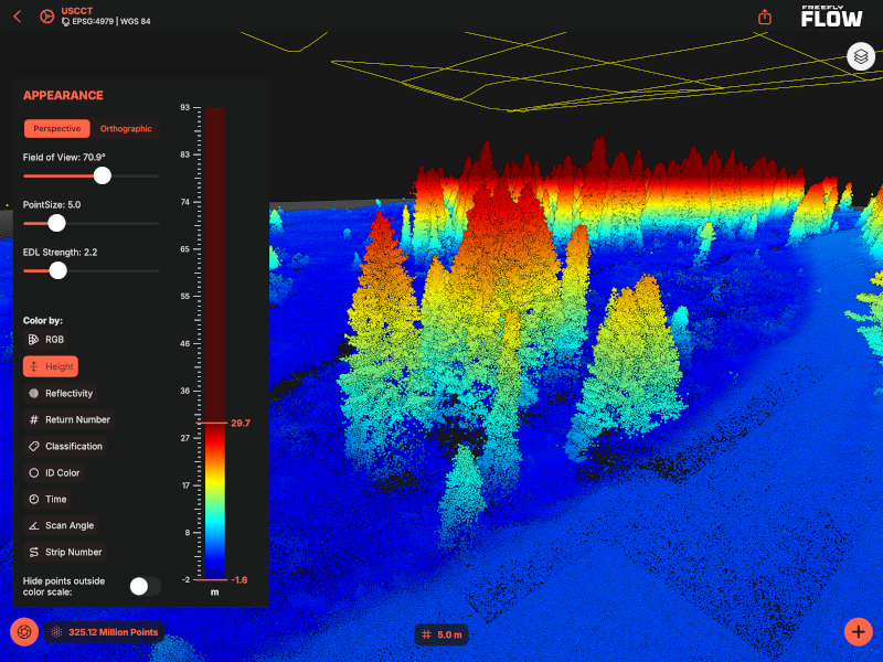
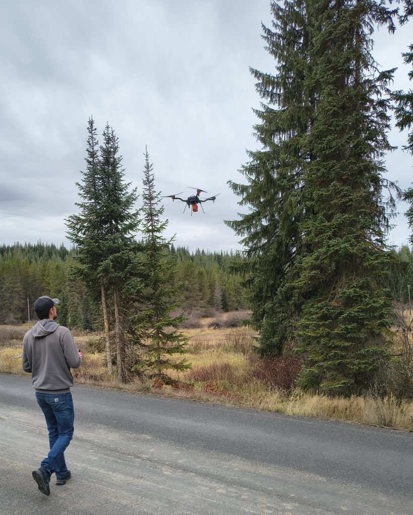
On October 14, 2026, we were given permission by the US Forest Service to fly our Freefly Astro with an XGRIDS Portal Cam mobile laser scanner around the Christmas Tree. Over a 20-minute flight, Drone Lab Manager JB Playfair made over 10 orbits around the tree to complete the scans. This was followed by a full lidar and photogrammetric mapping of the area surrounding the tree. Staff from the Digital Forest Affiliates processed the scans into a 3D Gaussian splat for the tree.
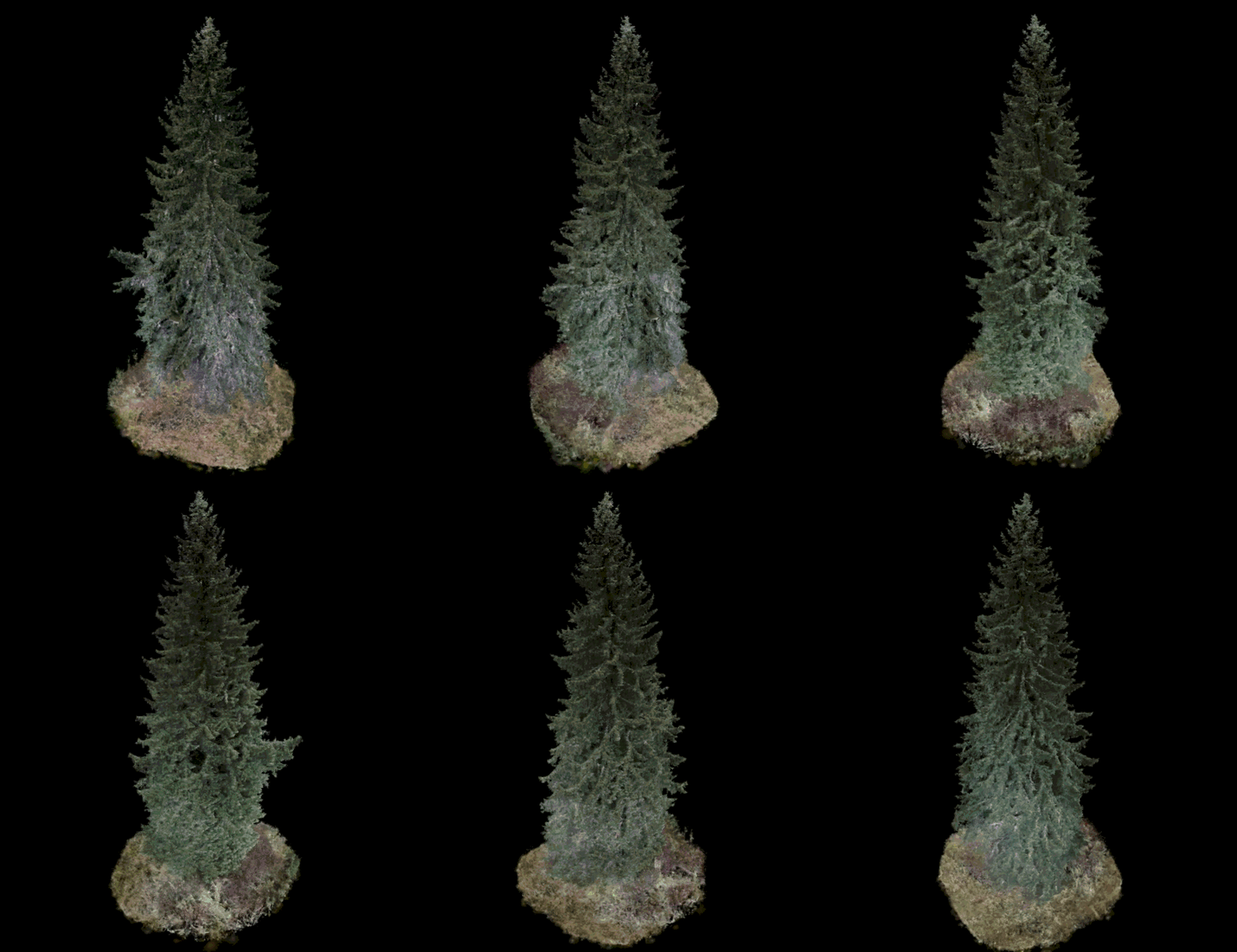
The full Gaussian splat 3D renderings can be viewed at: