
Mapping the Thermal Flow: Best Practices in River and Riparian Temperature Monitoring with TIR Imagery
We are using thermal infrared (TIR) imagery to map thermal profiles in rivers and riparian areas at the reach scale in the upper Big Creek drainage of Central Idaho.
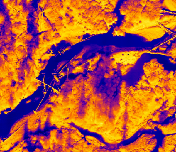
Traditional in situ methods for monitoring and visualizing thermal profiles of watersheds at the reach scale are time-consuming, costly, and limited in spatial and temporal scale. Unmanned Aerial Systems (UAS or drones) have advanced in sensor capabilities, have decreased in aircraft size and weight, and possess the ability to assess landscapes at a fine spatial scale. These aircraft can be used non-invasively to assess and map hydrologic features and processes throughout watersheds. We developed a methodology for in utilizing Thermal Infrared (TIR) radiometric imagery for quantifying and mapping heterogenous thermal profiles of river and riparian features at the reach scale. Executed across a morphologically diverse ecological setting in Central Idaho, USA, we assessed the accuracy of a UAS fitted with a FLIR TIR sensor in measuring surface temperatures of aquatic riparian and riverine features and identified challenges of thermal drift across sensor measurements and quantified the extent of drift across multiple flights. We developed a proposed method for drift correction and calibration of TIR imagery and discuss considerations of its use in ecological assessments.