
Structure from Motion with historic aerial photographs.
Modern photogrammetry software is a powerful tool for orthorectifying and merging historic aerial photographs into digital map products that can be used in GIS maps and analyses.
The concepts of photogrammetric mapping can be applied to any overlapping photos taken from a camera with a single-focal-point lens.
The first aerial photographs were taken in the 1860’s, and aerial photography was an important application of this developing camera technology. Starting in 1927 and continuing through the early 1940’s, the Washington National Guard, operating out of Spokane, WA, collected a lot of aerial photographs over eastern Washington and northern Idaho. The University of Idaho’s library hosts an online database of many of these photographs (Information about the UI historic aerial photography collection is available at https://www.lib.uidaho.edu/digital/aerial/about.html). Many of the available historic aerial photos were taken along overlapping flight lines and we can use the same techniques we use with drone imagery to create orthomosaics (and even elevation models) from photos from the 1930’s!
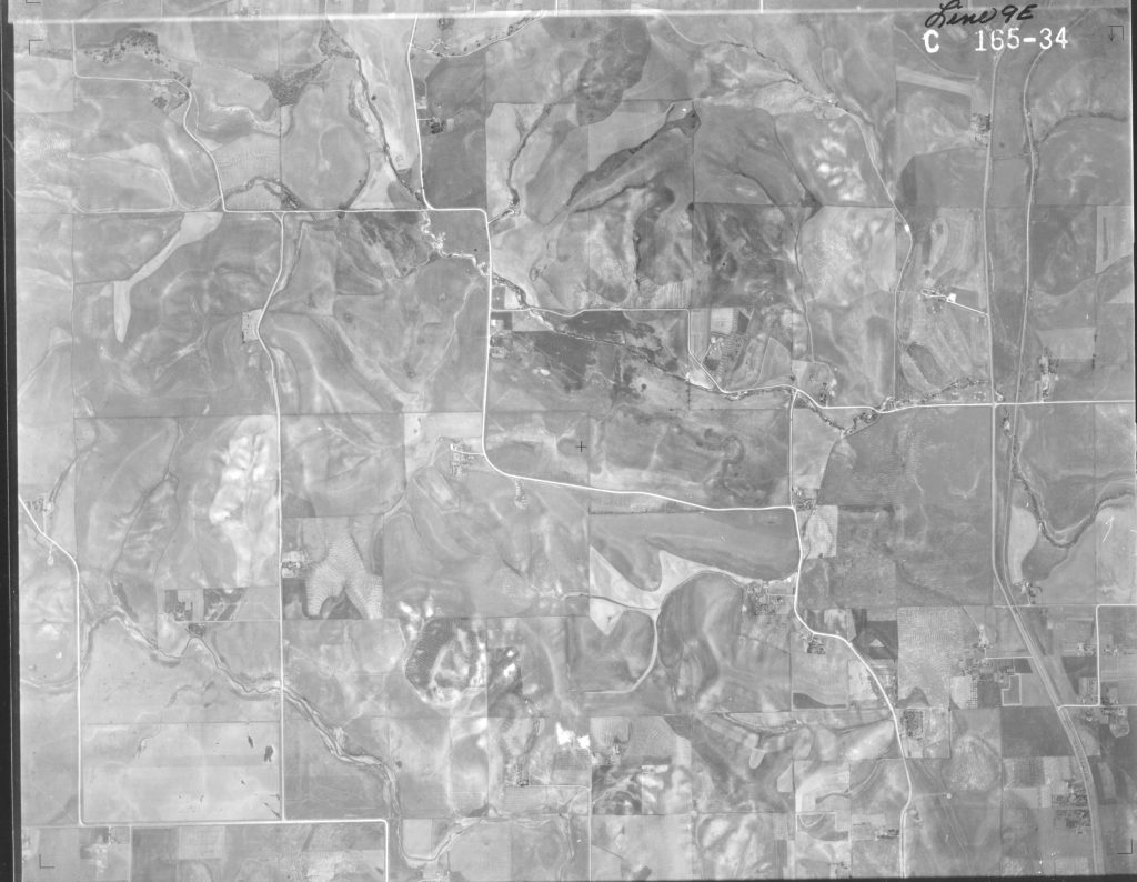
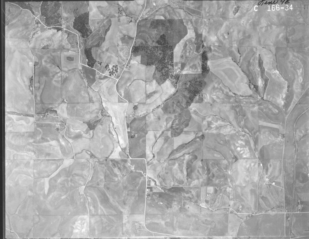
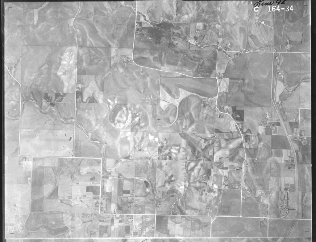
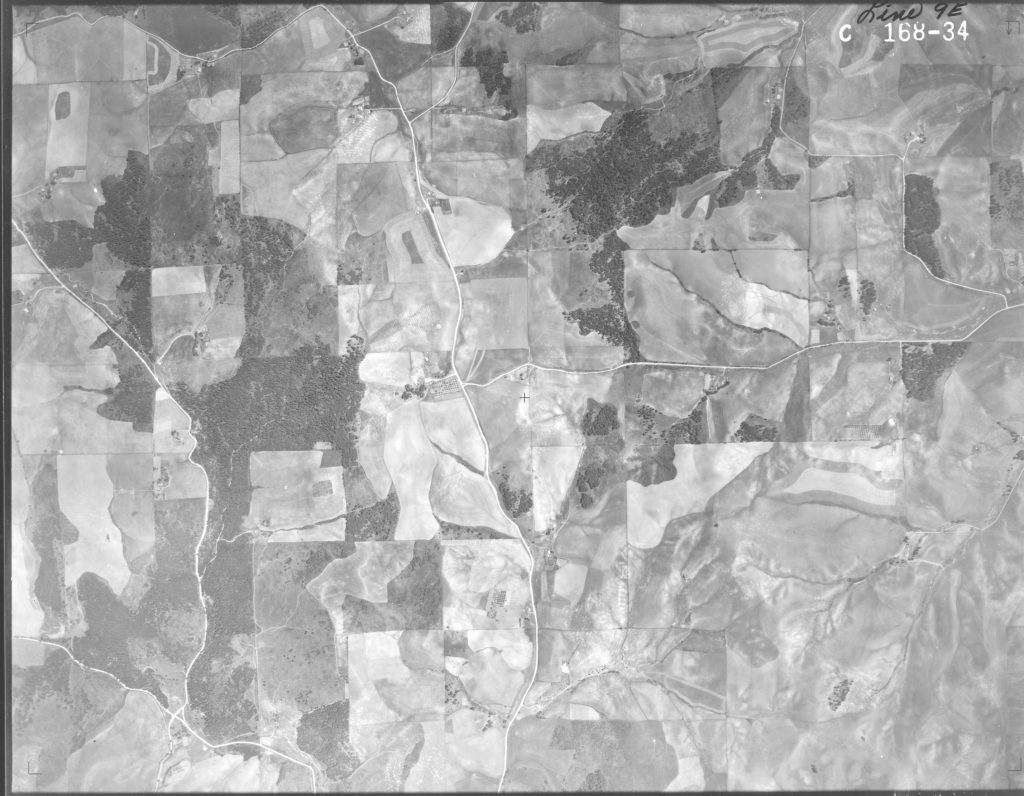
The lab exercise below will explore historic aerial photographs from the Moscow, Idaho region from 1934 and use Agisoft Metashape to align the historic aerial photographs and create a digital elevation model and orthomosaic. We can then evaluate how well the historic orthomosaic aligns with modern orthomosaics and examine changes in the landscape over a period of almost 90 years!